Our days in Arizona are coming to a close. We read about Arivica, AZ and drove a lovely winding road 40 miles through high desert rolling tall hills to see the town and Wildlife Refuge. We were pleasantly surprise to find a very nice walking path. So off we went.
I am always amazed at the land diversity in Arizona. I know Flagstaff is at a much higher elevation and gets alot of snow. But here in south Arizona, the lowland desert, high desert and grasslands differ enormously. Remember, I'm a flat lander. We learned that this area is called a cienega, "a wet, marshy area at the foot of a mountain, in a canyon, or on the edge of a grassland where groundwater bubbles to the surface. "
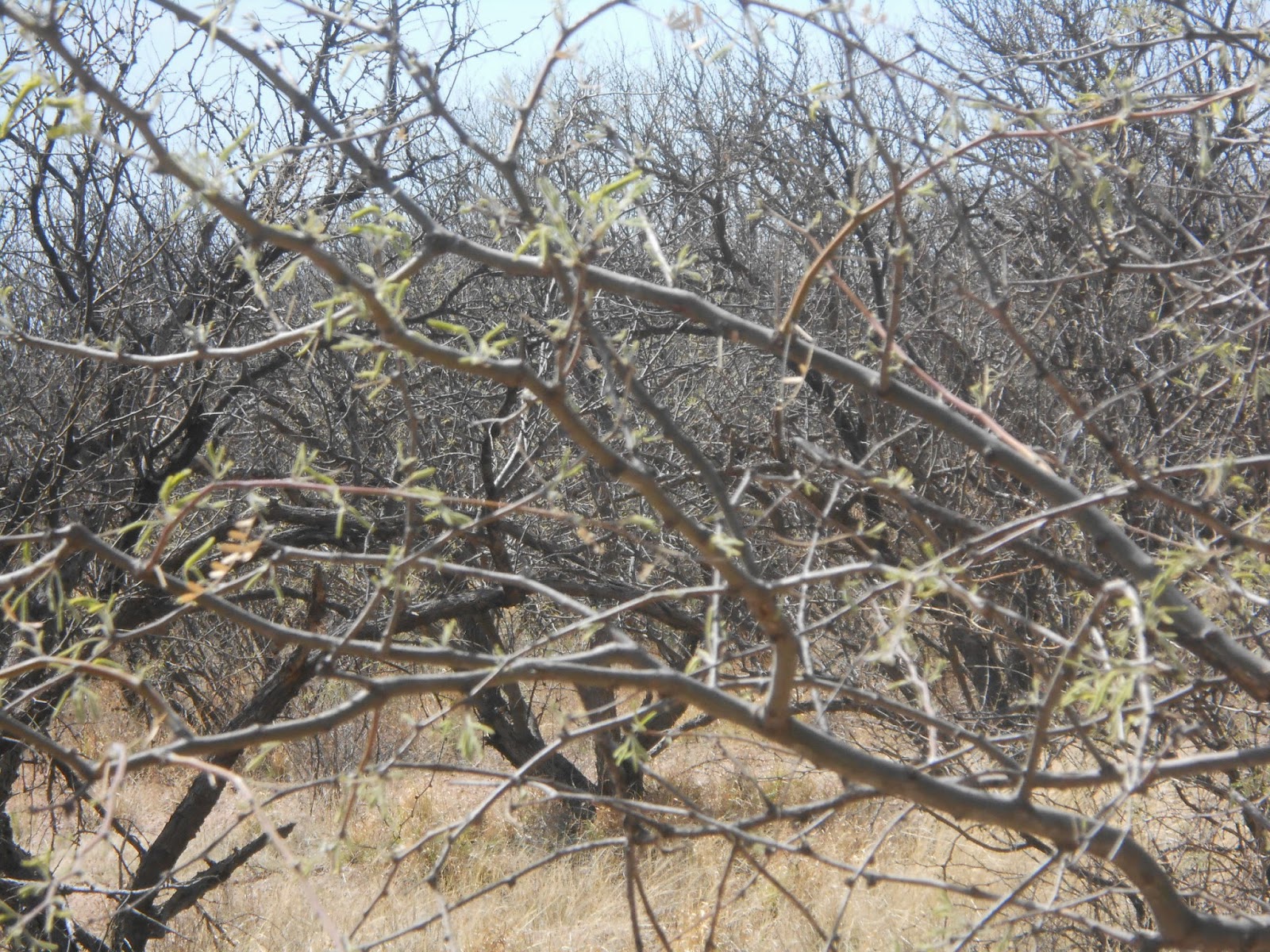
The mesquite trees are just barely starting to get leaves.
Rolling hills and mountains in the distance.
There must be water somewhere. This might be one of the cottonwood trees that are listed as growing near underground water. Green is always a big surprise.
The roots of these trees bear witness to how raging the monsoon rains can be when they roar through this dry creek bed

Not many trees here, just the "wide expanse of rippling grass"
It really is a well designed path with bridges over the marsh areas.


Many towns in Arizona add the first letter of their name to a prominent hill. There is a big A for Arivica over there.
Quite a bench. it must have been one very large tree.
I am not sure what plant this is, but it is the only green thing growing here at the moment.
This is Arivica Creek.
The water here is very green with algae. As you can see it really isn't flowing anywhere.
The path starts a gentle incline.
We're now walking along side a hill.
This could be a path in Wisconsin. Lots of really green grass.
Pictures just don't capture the timelessness of this ancient tree. It was massive.
I have been very used to seeing junks of rocks strewn along the other oaths we hiked. This small outcropping seemed to be the only sign of a rocky base below the soil.
The green circle in the middle of the field of brown grass gives a clue to where "water bubbles up"
Another ancient tree what has fallen over but still support several new tree trucks.
Rocky shale is just below the surface.
Not much pond to see this time of year
On our way back to the beginning. There are no prickly pear cactus, no saguaros, but a few barrel cactus.
Grass and trees win the growing spots here. There were just these sparse blossoms. There is another driving tour of the wildlife refuge that we'll have to plan for next year. We're out of time today.
New side of the Tumacacori Mountains. We saw the east side when we were in Tubac
The road back to Green Valley.


No comments:
Post a Comment